
Search Sterling Street Addresses
Address work in Sterling starts with a parcel, not a list of people. The Loudoun Commissioner of the Revenue keeps the public property record, which can connect a street address to an owner name, a situs address, a mailing address, a legal description, sales data, and a parcel identification number. The parcel number, often called a PIN, is the bridge to the county map and to land-record research. An owner record can establish a property connection, but it does not establish that the owner currently lives there.
The most useful order is address to owner, owner to deed, then deed to earlier parties. Public voter-list inspection is a separate and limited route for statutory registration fields. Historic address directories can add former subscriber or occupant clues where a volume exists. Each stop has a different date and purpose, so keep the address, unit, PIN, legal description, instrument number, and record date together rather than treating any single result as a household roster.
- Open the Loudoun ParcelDatabase in Property Address mode. Enter the street name without its suffix, or use the documented wildcard pattern, then sort the street-wide results by property address or owner.
- Save the owner, PIN, legal description, last-sale instrument number, and whether the result is current or deactivated. Check units carefully, because a condominium, garage, or assigned parking space can have its own PIN; use the address or PIN in Loudoun WebLogis to inspect the parcel’s street position.
- Use the legal description, instrument reference, and owner or grantee name with the Clerk’s land-record route. Read the recorded transfer to identify the prior grantor and any earlier instrument reference.
- For a registered voter’s permitted statutory fields, use the official self-service path for one’s own record or inspect the lawful public list through Elections. Do not infer every adult at the address from that record.
- For older address clues, ask the library or archive about reverse and telephone directory volumes. A confirmed address-first volume can provide a former subscriber or occupant lead to compare with deeds and parcel history.
Note: A street-wide property result is a parcel list, so it should be read as ownership evidence rather than a count of current residents.
Sterling Street Directory Assessor Search
The county’s iASWorld address screen is designed for a street directory search. Its instructions recommend omitting the street type and using an asterisk in the Street Name Only field. For example, the documented form of a wildcard street search returns address matches for that street name, while adding a street type narrows it. Results may be ordered by parcel, owner, address, unit, Tax Map, last sale, or current and deactivated status. The data is described as updated weekly, so preserve the search date with any result.
| Field label | Type | Required | Options or format |
|---|---|---|---|
| Number | Text | No | House number; the documented examples use wildcard behavior through street-name searching. |
| Street Name Only | Text | No | Omit the suffix for broad results; * matches strings. |
| Street Type | Dropdown | No | ALY, AVE, BLVD, CIR, CT, DR, HWY, LA, LN, PIKE, PKWY, PL, PLZ, RD, SQ, ST, TER, TPKE, WAY. |
| Quadrant | Text/selector | No | Use where applicable. |
| Unit# | Text | No | Apartment, condominium, or other unit identifier. |
| Sort by | Dropdown | No | Parcel ID, Owner, Property Address, Unit #, Tax Map #, Last Sale, or Cur/Deactive. |
| Direction | Dropdown | No | Ascending or Descending. |
| Results/page | Dropdown | No | 10, 15, 20, or 25 observed. |
| Search | Button | N/A | Executes the query. |
Real Property mode adds Parcel ID, Land Use Code, Street #, Street, ZIP Code, and street or suffix selectors. A PIN has 12 characters. The county notes that range searches such as stories, Tax Map ranges, or year built belong in Advanced Search, but the full Advanced Search dropdown list was not publicly captured.
Sterling Street Directory in WebLogis
After the assessor search, WebLogis turns an address row into a place on the map. Start typing a street address, choose the autocomplete match, and select Locate on Map. A PIN or map tile can also be used. The map offers Show Parcel or Tile, Show Parcel and Adjoiners, Get Parcel & Platfile Info, Find Adjoining Parcels, and Find Parcels within a Distance. Those controls provide parcel geography and record identifiers, not a list of people.
Layers can be switched on for parcel boundaries, address points, ZIP Codes, subdivisions, roads, election districts, schools, zoning, planning, environmental features, utilities, and base maps. The map’s identify, aerial archive, Pictometry, print, and clear controls help check the parcel’s context. Carry the selected PIN back to the assessor record or forward to deed research instead of assuming the boundary line tells who occupies the property.
| Control | Type | Use |
|---|---|---|
| Street address | Autocomplete text | Begin typing, select the address, then Locate on Map. |
| PIN or Map Tile | Text | Show Parcel or Tile, Show Parcel and Adjoiners, or Find Parcels within a Distance. |
| Search type | Buttons | Get Parcel & Platfile Info, Find Adjoining Parcels, or Find Parcels within a Distance. |
| Map tools | Buttons | Pan, zoom, previous or next extent, identify, clear, print map or page, Pictometry, and aerial archive. |
| Layers | Checkboxes/toggles | Parcel boundaries, address points, ZIP Codes, subdivisions, roads, election districts, schools, zoning, planning, environmental, utilities, and base layers. |
| PIN + layer acreage | Text/dropdown | Enter a PIN and select a layer to return acreage for features inside the property boundary. |
- Parcel
- A tax and mapping unit tied to a PIN, legal description, and property record. One physical address can involve more than one parcel.
- Situs address
- The location of the property itself. It differs from an owner mailing address used for tax correspondence.
- Plat
- A recorded map that can show lots, blocks, subdivision sections, or boundaries used to connect an older description to a current address.
- Criss-cross directory
- An address-first directory that may point from an address to a subscriber or former occupant, when a relevant historic volume is available.
Sterling Street Records by Address
Several Loudoun sources are keyed to an address, but they do not provide the same kind of evidence. The assessment roll gives the current property-side view. WebLogis supplies the geographic link. The Clerk preserves the recorded transfer chain. Permits, code records, voter inspection, and historic directories are narrower sources with their own access limits. The table separates those roles so that a Sterling street directory search stays tied to the correct custodian.
| Record Set | Keeper | What It Shows | Access |
|---|---|---|---|
| Assessment/property roll | Commissioner of the Revenue | Owner, mailing and situs addresses, PIN, Tax Map, legal description, sales, assessment value, and characteristics. | Free ParcelDatabase search; data described as updated weekly. |
| Parcel GIS | Mapping and Geographic Information | Parcel geometry, address points, adjacent parcels, ZIP, district, zoning, and environmental layers. | Free WebLogis map; custom data has a reproduction cost. |
| Deed and plat index | Loudoun Clerk of the Circuit Court | Grantor and grantee, instrument, book/page, legal description, plats, and chain of title. | Public terminals for the 1757-present collection; remote copies through TrakRecord. Historic copies are $0.50 per page and certification adds $2. |
| Residential permit layer | Building & Development / GIS | Permit number, PIN, street address, month and year issued, unit type, subdivision or project, ZIP, and district joins. | LandMARC or permit inquiry; the historic residential GIS layer begins in 2010. |
| Code complaint | Code Enforcement | Signed complaint and enforcement context. | Form or mail route; complainant identity is protected and it is not an occupant list. |
| Voter list | General Registrar / Department of Elections | Statutory registration fields, subject to protected-address and P.O. box exceptions. | Citizen Portal for the individual’s own status; list inspection through Elections. |
| Historic directory | Library or archive | Possible former occupant, subscriber, address, occupation, and neighborhood clues. | Thomas Balch, LCPL, or FamilySearch shelf verification is needed; exact Sterling volumes are not confirmed. |
The PIN and legal description make the strongest bridge between the first four rows. A street name can be spelled, abbreviated, or historically named in different ways, so compare it with the parcel and recorded instrument. The permit route is a request or status path, not a browseable resident record. Utility customers and private-service subscribers are not public address lists.
Note: A recently divided or combined parcel may need additional tax review, according to the county, so verify the current parcel relationship before tracing a deed.
Sterling Street Permit Records
Permit evidence is address-keyed, but it should be used for the permitted work record rather than as proof of residency. Loudoun’s residential permit GIS layer begins in 2010 and includes permit number, PIN, street address, month and year issued, unit type, subdivision or project, census block, election district, and ZIP fields. That makes it useful for checking a property’s documented record trail beside the assessor and map.
For a defined question, the county’s Building & Development permit-inquiry form requires a property address, permit number when applicable, an application date, and a summary of the inquiry. The form is set up for one property address and one permit number. LandMARC is the county’s current application and status system, while the inquiry route is a request path rather than a public street browser.
Sterling Street Directory Deed Trail
A deed trail begins after the street search produces a PIN and legal description. Open the assessment sales history and write down the instrument number and recordation date. At the Clerk, look for the current purchase by grantee or owner name and confirm it with the parcel description. The named grantor is the prior transfer party. Search that person as a grantee in the prior transfer, then repeat. For a trust, estate, corporation, or multi-parcel sale, follow the legal description and instrument reference rather than a surname alone.
Loudoun TrakRecord remote land-record access is the assigned online entry point for the deed-index route.
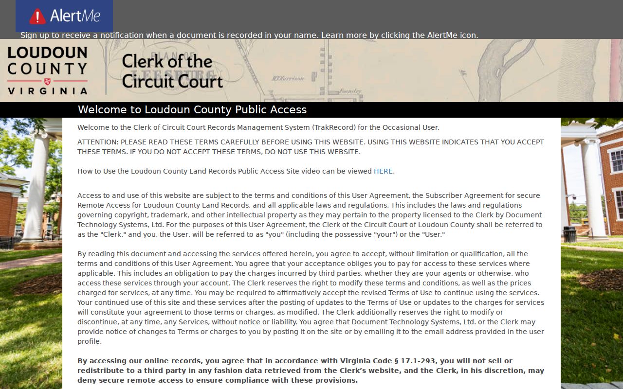
The sign-in screen confirms that remote access is an index and copy workflow. The publicly inspected landing page does not reveal the authenticated search fields, while county pages confirm public research terminals and remote-copy options.
The Clerk’s land-record collection is available for public research from 1757 to the present. At the counter, historic material and fragile records can be handled through staff procedures. Mail requests need a specific index reference, preferred copy size, certification choice, payment, and a self-addressed stamped envelope. Do not claim that every historic image is remotely searchable, because the public research did not identify a complete remote cutoff.
Guilford Names in Sterling Street Records
Older Sterling street research needs more than a modern address. The railroad and post-office community was known as Guilford Station after development around 1860, and the station name became Sterling in 1887. County history links present-day Ruritan Circle and nearby roads with the older Railroad Street and Church Road landscape. A pre-1900 deed, newspaper item, cemetery reference, or directory entry may therefore use Guilford Station, Sterling, Leesburg, or a county place name instead of a current postal label.
Sterling Park was approved in 1961 and built through the 1960s. Cascades, Countryside, and Sugarland Run later added subdivision layers. Search the historic place names, then use a recorded plat, lot or block, and parcel geometry to connect an older description to the present address. No official source located a Sterling-wide street-renumbering project, so a change in wording should be verified rather than presumed to be a renumbering.
Historic Indexes for Sterling Streets
The Clerk’s Historic Records & Indexes page is useful when the modern street name runs out. Its online categories include deeds, wills, guardian papers, chancery cases, criminal cases, judgments, marriage records, military indexes, business licenses, miscellaneous papers, road cases, and birth and death records. An index can produce the reference needed for a copy request, but it is not a substitute for reading the underlying recorded item.
View the Loudoun historic records indexes before preparing a request.
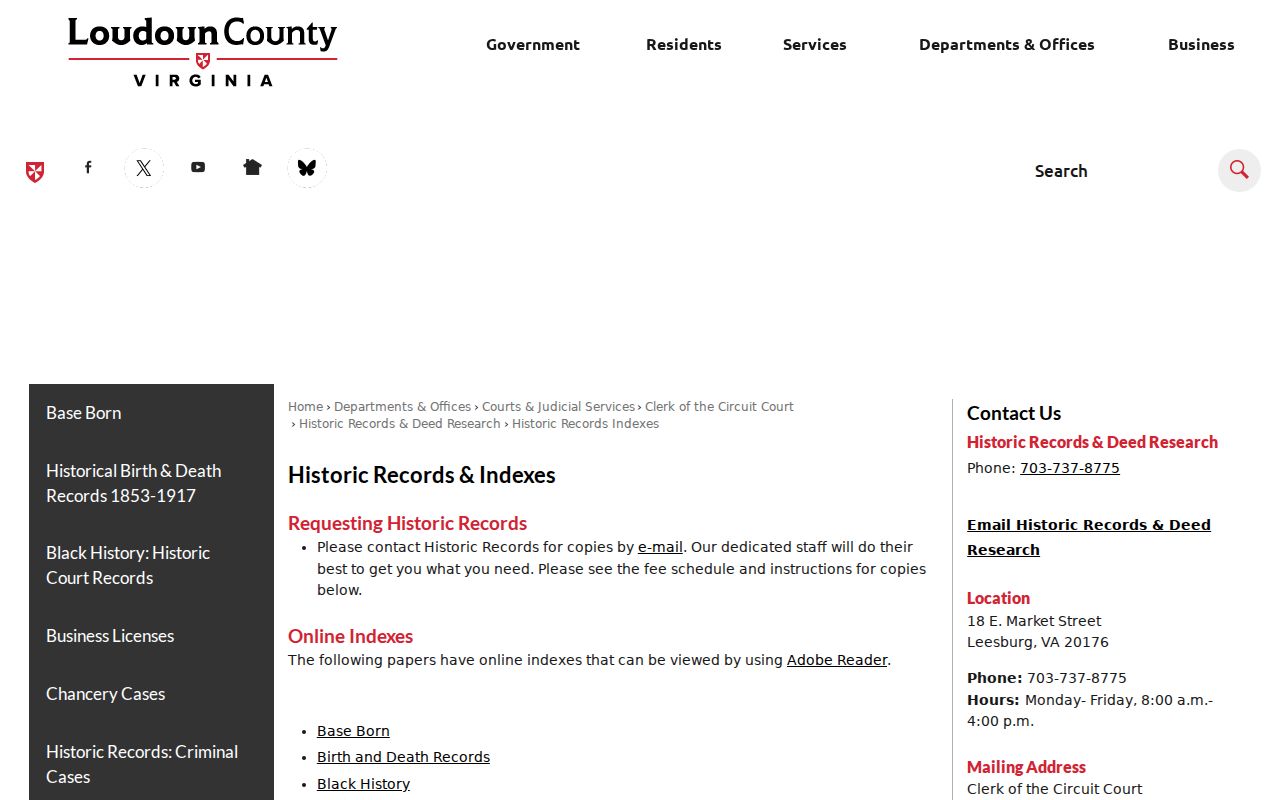
The category list helps match a street question to the correct historic index, such as deeds for a transfer trail or road cases for an older route reference. Historic Records staff can assist with the system but does not conduct open-ended legal research.
Reverse or criss-cross directories are an additional historical address tool, but no complete Sterling directory shelf or year run was confirmed online. The historical volumes are handled separately in the Sterling Directory Book; ask Sterling Library or Thomas Balch Library for a specific address-first or telephone-directory volume before relying on an address match.
Sterling Street Voter Limits
Virginia’s voter information is not a street-wide online resident directory. The Virginia Citizen Portal offers registration status, polling place, absentee-ballot status, and voting-history paths for the individual’s own workflow. For public inspection, Virginia Code § 24.2-444 permits name, address, year of birth, gender, and applicable election districts, while excluding Social Security information, day and month of birth, registration-agency identity, and specified P.O. box or protected addresses.
The Loudoun Elections and Voter Registration Office maintains the public-inspection route when open. Bulk-list access is purpose-limited by § 24.2-405 and recipients may not republish it as a searchable Internet database. Virginia does not register voters by party. A registered address indicates only the statutory voter record, not every adult or household member at that address.
Note: Protected voters, Address Confidentiality Program participants, and permitted P.O. box arrangements can make an address unavailable through ordinary voter inspection.
Limits of a Sterling Street Directory
A Sterling street directory cannot establish every current resident on a block. The assessment roll identifies an owner and may show a mailing address that is outside the property. Current occupants may be absent from property records, and registered voters represent only the people who are registered and lawfully visible in the statutory form. Private utility customers, delivery records, motor-vehicle addresses, unregistered occupants, and non-public association rosters do not become public just because a street has a parcel map.
Address confidentiality, sealed records, redactions, and voter exclusions remain in force. Do not infer occupancy from an owner name or infer a home address from a correspondence address. The legal record can be valuable for family history, estate matters, or checking a property-related claim, but a match should be confirmed with the custodian and used with care.
Lawful use. Use Sterling street and address records only for personal, lawful research. Virginia’s anti-stalking law prohibits using records to stalk, harass, intimidate, expose a protected address, or harm another person.